
ABOUT TRANUS
 Tranus is an integrated simulagion model to locate activities, land use and transportation, which can be applied at a regional or an urban scale. It is specifically oriented towards the simulation of potential effects derived from the application of policies and various projects in cities or regions, evaluating them from a social, economic, financial, energy and environmental perspective.
The main feature of Tranus modelling system is the integrated way in which the main components of the urban or regional system are presented, such as activities location and interaction, the real estate market and the transportation system. All these components are related with each other in an explicit way, according to a theory that is clearly developed for this purpose.
The people and cargo movement phenomenon is explained as the economic and spatial relantionships between the activities that generate it. In turn, the accessibilty resulting from the transportation system affects the way in which the activities interact with each other, how they are located within the same space and how they interact with the real estate system. The economic evaluation is also integrated to the modelling system and the theoretical formualtion, providing all the necessary tools for the policy and projects analysis.
A software of this nature allows the evaluation of the effects brought by transportation policy on the location of activities and land use. It is also possible to analyze the effects of land use policies on the transportation system and, naturally, the effects of combined policies. Even though Tranus shows its highest performance level during the integrated planning process, the system can be used as a transport-only system, assigning certain demand matrices, which can be useful for the evaluation of transportation policies on the short term.
Its integrated focus also allows the estimation of origin-destination matrices for trips, at a lower cost. The matrices derived from surveys at homes are very expensive, and even with a wide sample, the statistical robustness of results cannot be ensured. The alternative is using a small sample to calibrate an integrated location and trasnportation model, with which the matrices can be analytically built and more reliable results can be obtained, at a much lower cost.
With the Tranus modelling system, you will be able to simulate:
- Detailed urban areas
- Metropolitan areas
- Metropolitan regions
- Regions, states or provinces
- National level
- Regiones formed by several countries
The systems allows the representation of both cargo and passenger movements in public and private transport, in a single transportation network, simulating the joint effect on the capacity of the roads infrastructure. In urban applications, the representation of passenger movements is usually a priority, exogenously including the cargo movements, in order to include their effect on traffic. In regional or national applications, both elements, cargo and passengers, are equally relevant. In this case, it is possible to perform a full consumable-product type of count, with an explicit representation of imports and exports, and evaluate their effect in the use of the multimodal transport network.
Policy and Projects Analysis with Tranus
The analysis range is very wide. Urban planning policies can be represented, as well as controls over the use of land and several transport projects and policies. These policies can be combined and evaluated jointly. Below, you can find the possibilities offered by the Tranus modelling system in this area:
- Urban development plans
- Impact of specific projects, such as industries or residential complexes.
- Regional development plans
- Housing plans and incentives for construction
- Environmental protection programs, through controls over special areas.
- New roads and improvements to the existing roads.
- Rearrangement of the public transport system (new routes, fees, etc.)
- Bus-only roads
- Massive transportation system for passengers (Metro, LRT, etc.).
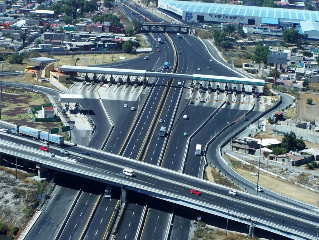
- Toll, urban or regional motorways.
- Roads only for high-occupancy vehicles
- Restrictions in vehicles circulation
- Pricing policies, such as taxes on fuels or parking lots
- Park-and-ride
- Selective road pricing or pricing according to traffic
- Interurban roads rehabilitation
- Roads maintenance policies
- Railway projects or improvement of existing railways
- Relocation of cargo and passengers harbors or airports
Use of Tranus in National and International Projects
Tranus has been used in several analysis in a large range of cities and regions and social and economic realities in Latin America, United States of America, Europe and Asia. It is also used for academic investigation and graduate courses in several universities and research centers throuhgout the world. This wide range of applications is a result of the high flexibility offered by the system, which allows it to adapt to the wide variety of conditions.
In addition to combining a full activity location model and a full and detailed transportation model, emphasizing intermodality, the Tranus modelling system has a very powerful graphic interface, combined with a smart database and an explicit handling of scenarios.
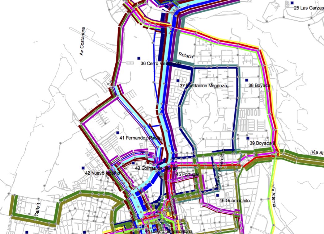
This software has all the necessary graphic tools for networks edition. It allows several links with georeferenced information systems, as well as importing networks from other models, generating reports, exporting maps and many other tools.
Click the following links to download and learn how to use Tranus