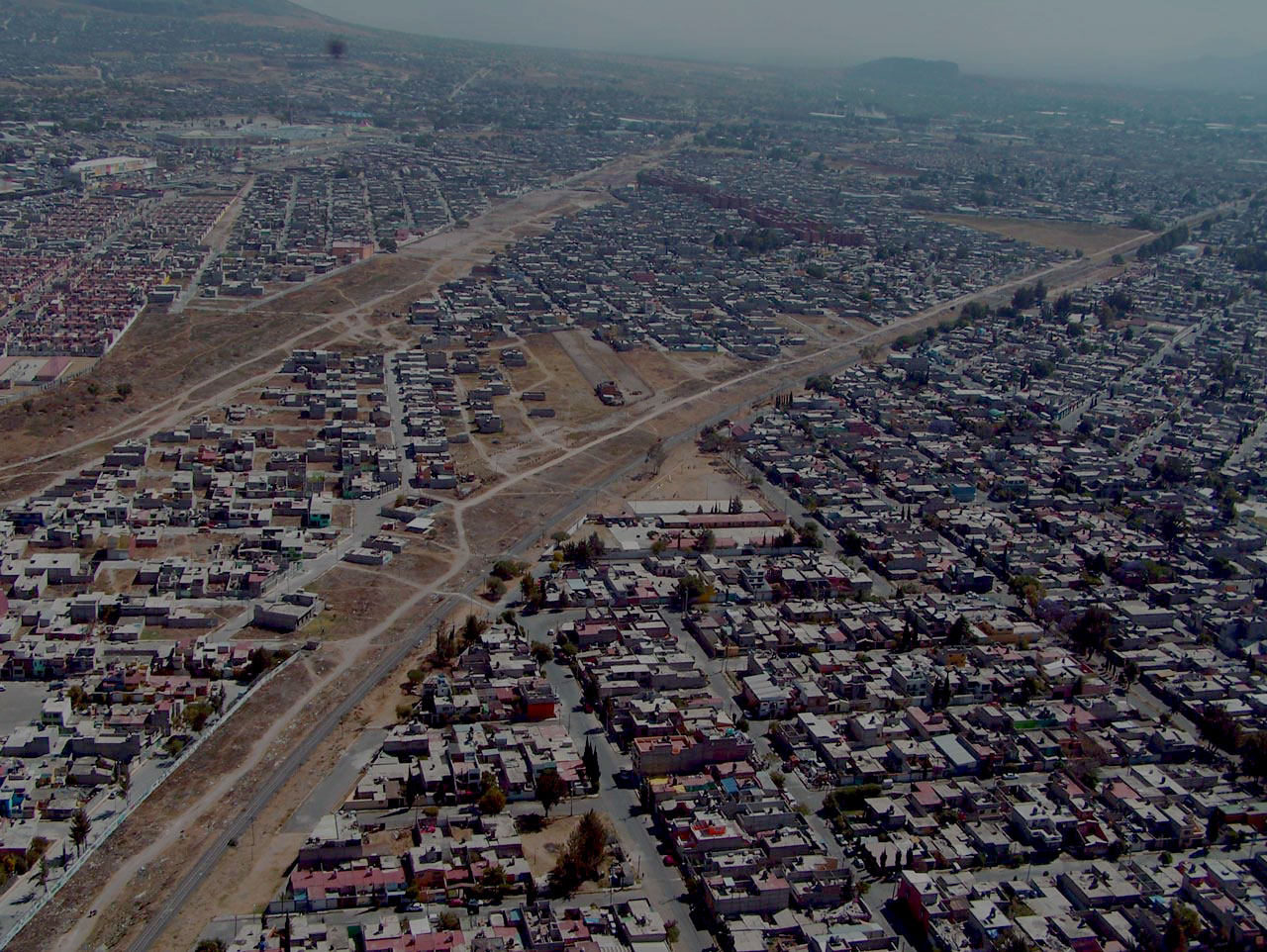
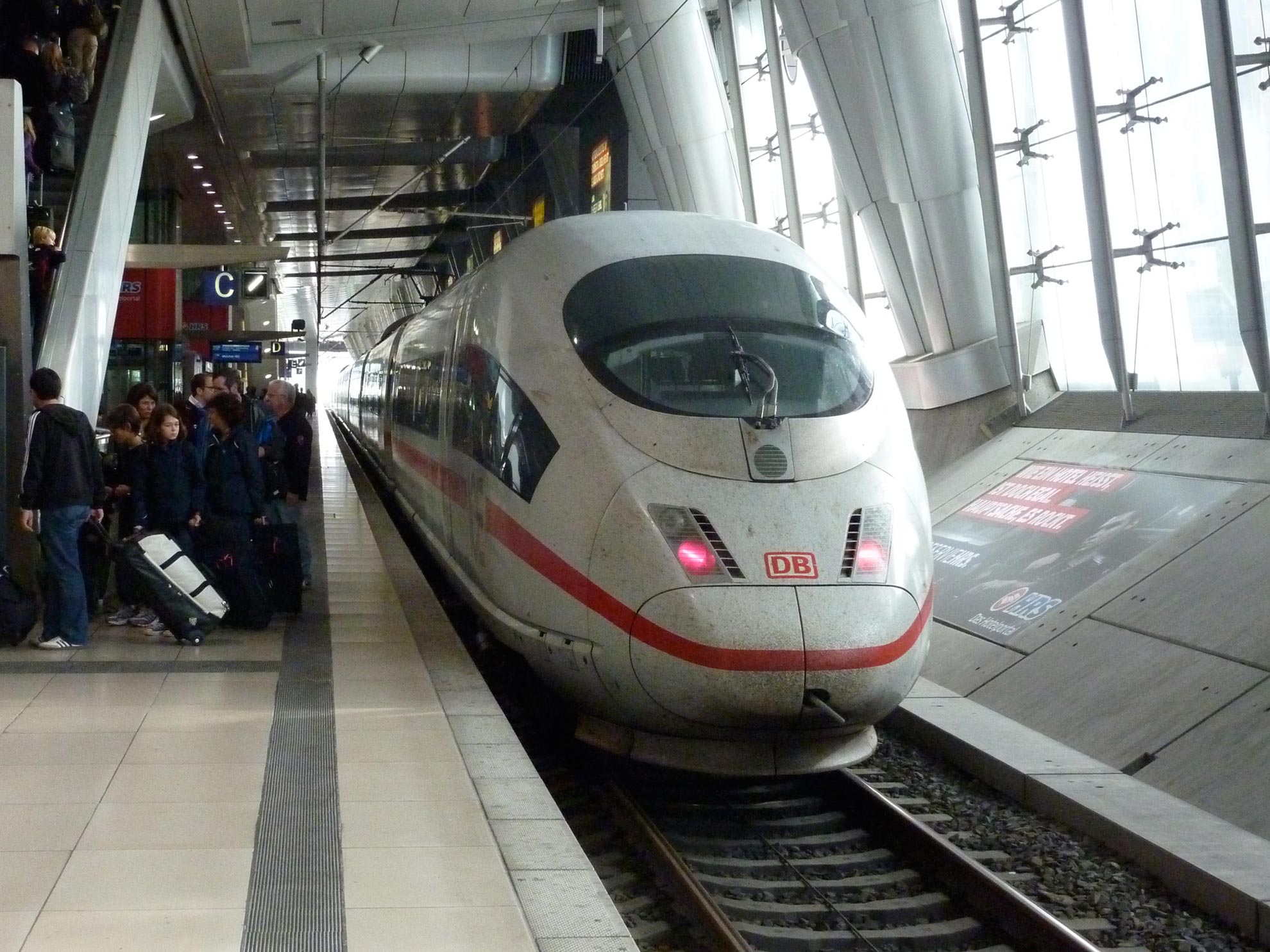

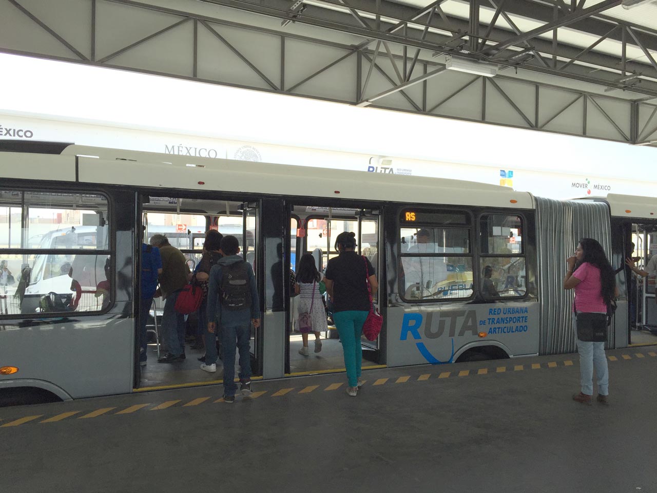
We develop studies, executive projects; planning and land use; designs of projects related to civil engineering, transportation projects, transit and architecture

Transportation plans
We create massive transportation, public transportation, road management, cargo, passengers, multimodal passengers and cargo transportation plans, at an urban, regional and multinational level. Most of them are created through the TRANUS modeling system
Urban Plans
Use of land use and transportation models to evaluate plans proposals, land use and behavior of the real state system under the impact of mobility proposals. Specially indicated for urban development plans.
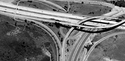
Traffic studies
We perform traffic studies, road and pedestrian networks microscopic simulation, either for the analysis of isolated or network crossings. Proposals to improve urban traffic through physical modifications to the roads or as complement of road management and/or public transportation projects.
TRANUS
 Integration
Tranus modelling system’s main feature is the integrated way in which the components of a urban or regional system are presented, such as activities location and interaction, real estate market and the transportation system. All these components are related with each other in an explicit way, according to a theory that is clearly developed for this purpose.
 Graphic interface
In addition to combining a full activity location model and a full and detailed transportation model, emphasizing intermodality, the Tranus modelling system has a very powerful graphic interface, combined with a smart database and an explicit handling of scenarios.
 Evaluation
It allows to evaluate the effects brought by transportation policy on the location of activities and land use. It is also possible to analyze the effects of land use policies on the transportation system and, naturally, the effects of combined policies.
 Close to everyone’s reach
Tranus is a free software.
Download TRANUS for free.
